Major upgrade to dataset for Ireland’s Biodiversity Maps
April 2nd, 2018
The National Biodiversity Data Center has announced an overhaul of its online data portal to create a more detailed picture of protected, threatened and invasive species across Ireland.
This is a significant development by the NBDC as the Biodiversity Maps database now boasts of over 4 million records of almost 16,000 species and their distribution in Ireland.
The idea is to integrate data on Ireland’s wildlife using Biodiversity Maps, to produce complete report on an area’s biodiversity. The tool is accessible to all data publishers and data users in Ireland and abroad.
It is hoped that the data will help in conservation management, planning and decision-making processes of Ireland’s biodiversity.
An important use of the Biodiversity Maps is also its ability to generate reports on the distribution of protected, threatened and invasive species in Ireland.
With the help of this tool users can access information on protected areas, such as Special Areas of Conservation and Speciality Protected Areas.
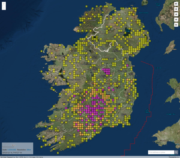
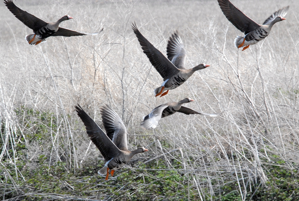
Multiple species searches are possible Photo: NPWS
According to NBDC, 91 per cent of Ireland’s habitats in in an inadequate or bad status and the number of invasive species in Ireland has increased by 183 per cent in the past 50 years.
Dr Liam Lysaght, Director of NBDC said that access to data on 681 Protected, 972 Threatened and 425 Invasive Species is now just a click away, hence, planning for their needs should become easier.
“This new portal should be a game changer for the conservation of biological diversity in Ireland,” he added.
“This is a significant investment in Ireland’s biological information infrastructure and forms the basis of our most central mission, which is to assist the mainstreaming of biodiversity data and information into decision making,” Dr Lysaght added.
Barry O Neill, the NBDC’s data manager added: “One of the advantages of the new system is that we now have a piece of data infrastructure that can be fed through web services to users such as local authorities, to ensure they have the best available information when making decisions, for example, in relation to spatial planning.”
He further added that an NGO or any organisation or public body can now include statistics or the distribution map of a particular species on their websites.
[x_author title=”About the Author”]
As the days are getting longer and you’ve been through enough Irish Spring-times to know that you can’t wait for Read more

In its 2009 bid to host this year's Olympic games, Rio aspired to host a "Green games for a Blue Read more
[cs_content][cs_section parallax="false" style="margin: 0px;padding: 45px 0px;"][cs_row inner_container="true" marginless_columns="false" style="margin: 0px auto;padding: 0px;"][cs_column fade="false" fade_animation="in" fade_animation_offset="45px" fade_duration="750" type="1/1" style="padding: 0px;"][cs_text class="cs-ta-justify"]According Read more
Image: Naoise Culhane Green Flag for Parks Award Ireland Facebook page Left: Minister of State for the OPW and Flood Read more