Technology to identify galaxies to help in wildlife conservation

May 2nd, 2018
Cutting edge technology used to identify galaxies may be able to help in wildlife conservation thanks to the collaborative efforts of conservationists and astrophysicists from Liverpool John Moores University (LJMU).
The technology involves the application of astrophysical software to detect and identify animals especially during the night. This is when poaching usually occurs.
The software applies thermal infrared imagery captured by drones that are efficient in surveying large areas and terrains difficult to access by land.
The drones help in monitoring at risk wildlife in their natural habitat without causing disturbance.
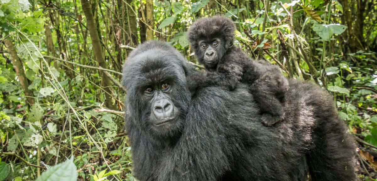
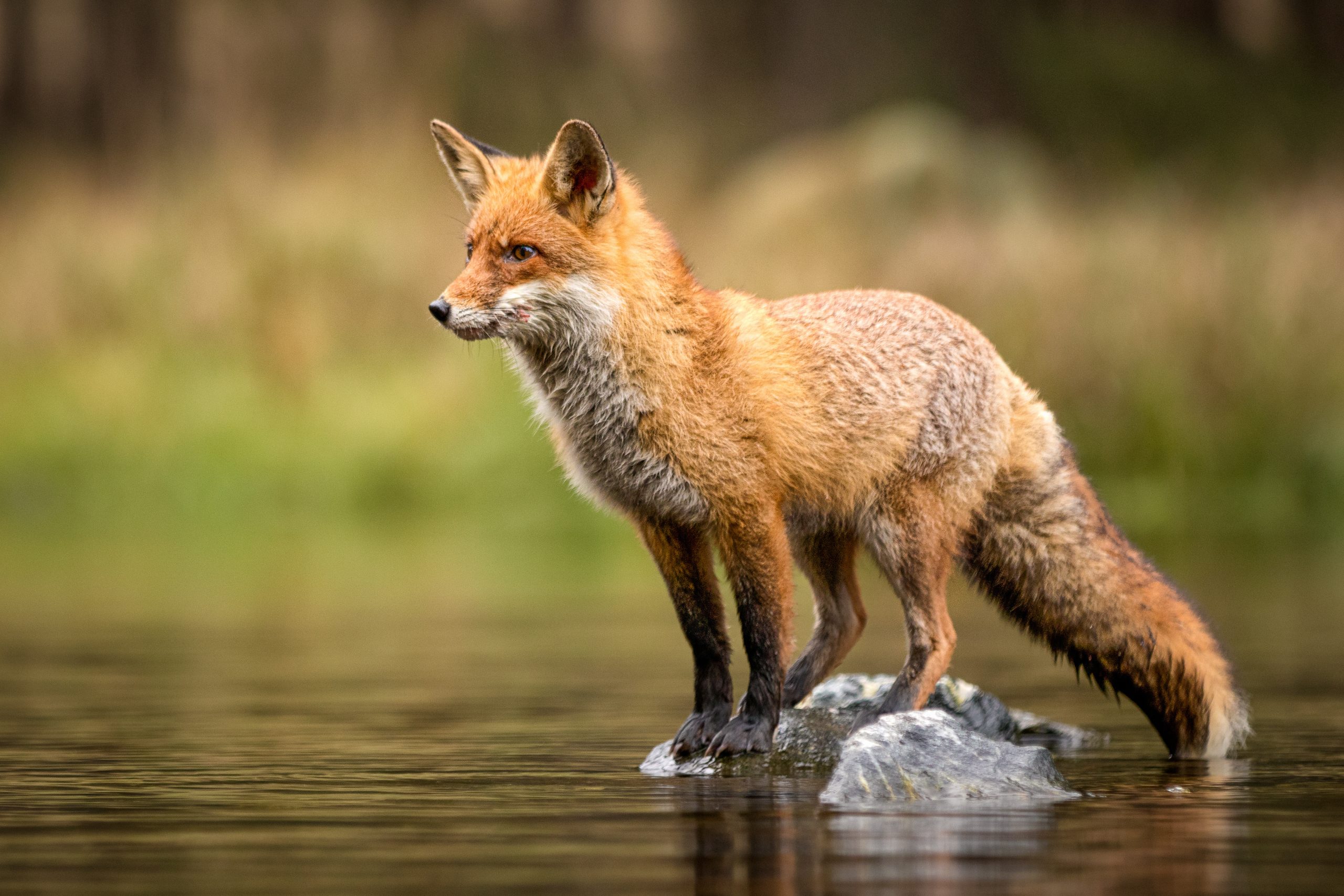
According to the International Union for Conservation of Nature (IUCN) red list, approximately 25 per cent (1204 species) of mammals and 13 per cent (1469 species) of birds are considered threatened.
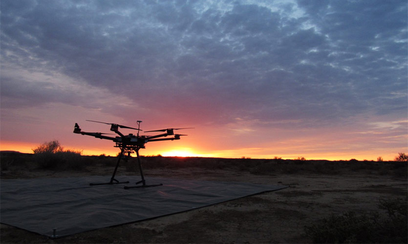
The drone at Sunrise in the Karoo Desert. Photo: C. Burke/LJMU
The idea was developed by Professor Serge Wich, a conservationist in the school of Natural Sciences and Psychology at LJMU, and Dr Steve Longmore from the University’s Astrophysics Research Institute (ARI).
A pilot project was set up at a farm in Wirral, with the LJMU team collaborating with Knowsley Safari and Chester Zoo to construct a library with imagery to train the software to recognise different animals in various landscape and vegetation.
”Since animals and humans in thermal footage glow in the same way as stars and galaxies in space, we have been able to combine the technical expertise of astronomers with the conservation knowledge of ecologists to develop a system to find the animals or poachers automatically,” said Dr Claire Burke from ARI.
”Our aim is to make a system that is easy for conservationists and game wardens to use anywhere in the world, which will allow endangered animals to be tracked, found and monitored easily and poaching to be stopped before it happens,” said Dr Burke.
The team will venture into field tests with endangered species in countries like Malayasia, Brazil and Mexico in the coming months.
The LJMU team acknowledge that humidity can be an issue but their biggest concern is when the ground temperature is similar to that of the animal’s body temperature.
Earlier this year the National Biodiversity Data Center announced a major boost to its online data portal, with Biodiversity maps providing a comprehensive record of Ireland’s own protected, threatened and invasive species.
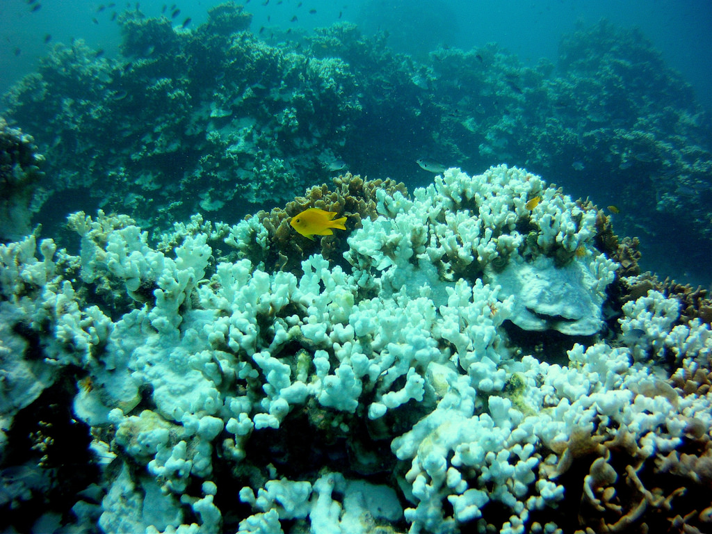
The current rapid loss of species is estimated to be between 1,000 and 10,000 times higher than the natural extinction rate according to the World Wildlife Fund (WWF).
[x_author title=”About the Author”]
